No content available.
Related Articles
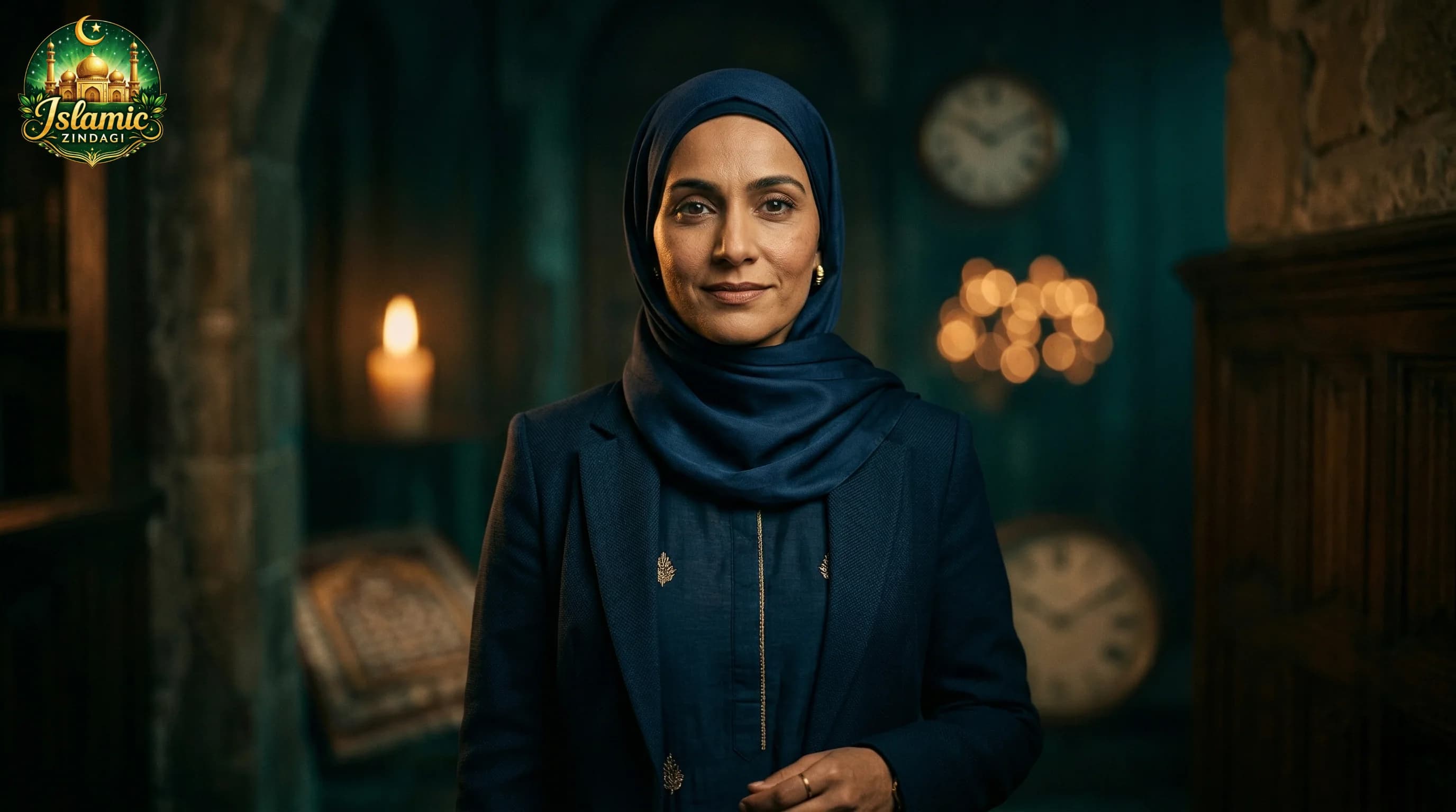
Islamic Life System: Zubaan, Namaz, Waqt aur Walidain ka Complete Guide
Islam ek complete life system hai. Sirf chaar cheezein fix karo — Zubaan, Namaz, Waqt, Walidain — aur poori zindagi badal jaayegi. Shabiha Tarannum ka comprehensive pillar guide with practical steps.
18 min read
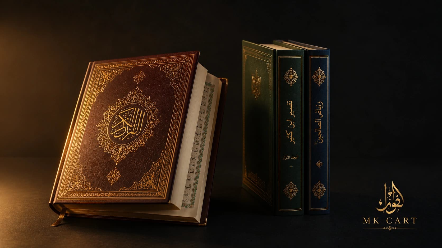
Apne Bache Ke Liye Sahi Islamic Books Kaise Chune? Tajweed Se Tafsir Tak — MK Cart Ka Complete Guide
Quran, Tafsir, Roman Urdu — konsa edition best hai apke bachhon aur parivaar ke liye? MK Cart se authentic Islamic books kaise chune — complete guide with practical checklist.
18 min read
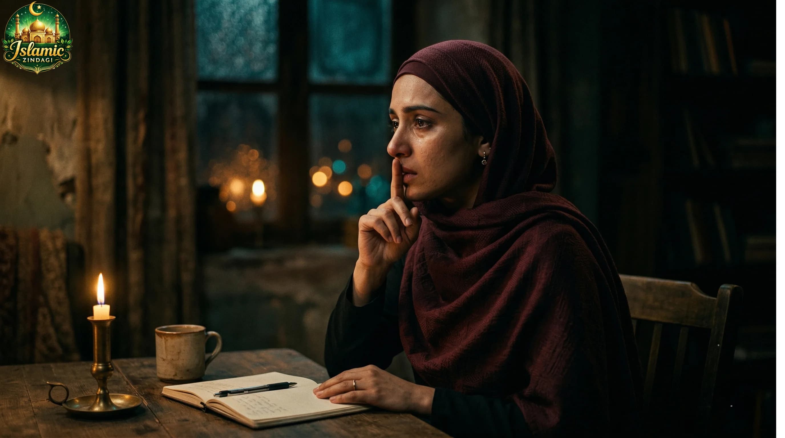
Zubaan ki Hifazat: Ek Lafz Ka Asar Duniya aur Aakhirat Par
Ek lafz kisi ka dil jod sakta hai... aur wahi ek lafz kisi ki duniya ujad sakta hai. Zubaan ki hifazat kyun zaroori hai — duniya aur aakhirat dono ke liye.
8 min read
Want a similar automation system?
This article is based on real automation systems we build for businesses using AI, n8n, and custom workflows. Each can be adapted for your unique needs with fixed pricing and full ownership.